Ground and Aerial Collaborative Mapping in Urban Environments

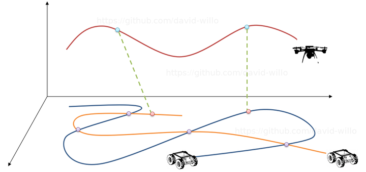
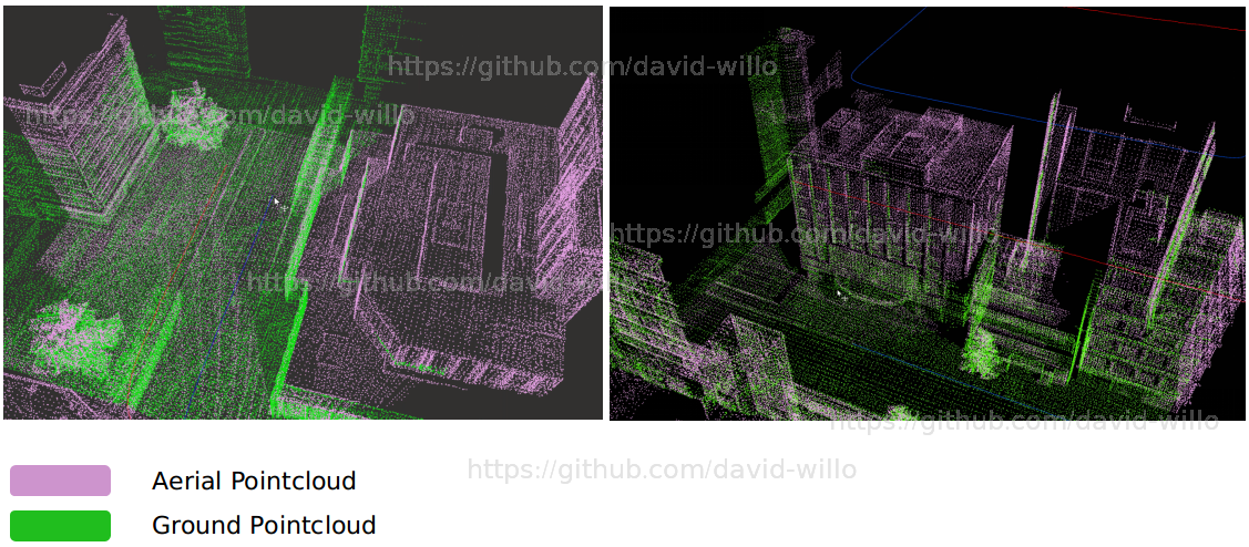
A system that uses heterogeneous platforms(cars and drones) mounted with 16-beam LiDARs and RGB cameras to build a 3D point cloud map of the environment.


A system that uses heterogeneous platforms(cars and drones) mounted with 16-beam LiDARs and RGB cameras to build a 3D point cloud map of the environment.